Services
Chilling and Frost
Different environmental risk analysis like flood, drought, chilling, heat stress,... risk maps are basic elements for investments and avoiding climate risks. Change detection and monitoring can be provided by areal an space remote sensing helps better damage assessments


Consulting Services
GIS and RS are valuable tools for research because they allow for the visualization and analysis of spatial data, providing insights into patterns and relationships that may not be evident in tabular data alone. They are useful in studying changes in the environment over time and can integrate multiple data sources, allowing for a more comprehensive understanding of a study area. With their wide range of applications in fields such as ecology, geology, agriculture, urban planning, and disaster management, GIS and RS have become essential for interdisciplinary research.
Training
All essential information and skills for those who are dealing with GIS and remote scensing data. TerraMaps provides different training programs for GIS software and useful programming languages like R and Python for spatial analysis

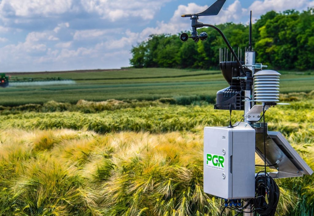
Precision Agrometeorology
Precision Agrometeorology is the application of advanced weather and climate information to optimize agricultural practices at the field level. By combining local meteorological data, satellite observations, and modeling tools, it helps farmers make informed decisions about irrigation, fertilization, pest management, and frost protection. This approach improves resource efficiency, reduces environmental impact, and increases crop yield and quality. Through precise monitoring of temperature, humidity, and rainfall patterns, precision agrometeorology supports sustainable and climate-smart farming practices tailored to each specific location.
F.A.Q.
CGS is an international company currently focusing on GCC countries: Oman, UAE, Qatar, Saudi Arabia, Kuwait, and Bahrain.
TerraMaps members have long experience on applications of different types of satellite data, GIS analysis and related services. They have participated in many national and regional projects and also held many courses and workshops
Yes! Different datasets including Remote sensing, GPS, Surveying data, Imagery, … can be used as your optimal standard data bases.
Lorem ipsum dolor sit amet, consectetur adipiscing elit. Ut elit tellus, luctus nec ullamcorper mattis, pulvinar dapibus leo.
Lorem ipsum dolor sit amet, consectetur adipiscing elit. Ut elit tellus, luctus nec ullamcorper mattis, pulvinar dapibus leo.