
Consulting Services
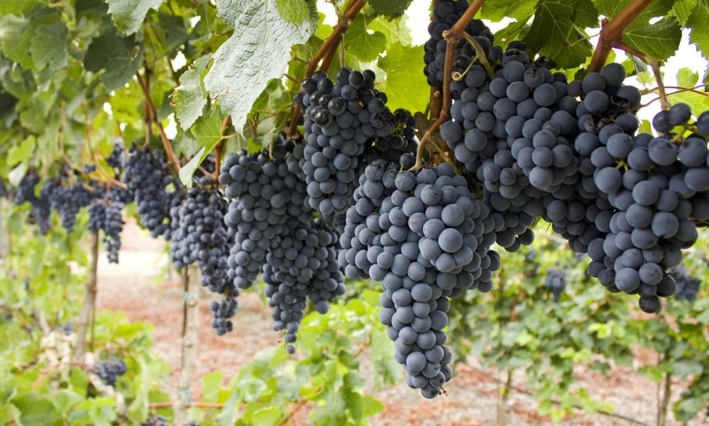
Garden network design
Grape garden network design focuses on organizing vineyard layout and systems like irrigation and sensors to improve grape growth, save resources, and protect vines from stress such as drought or frost.
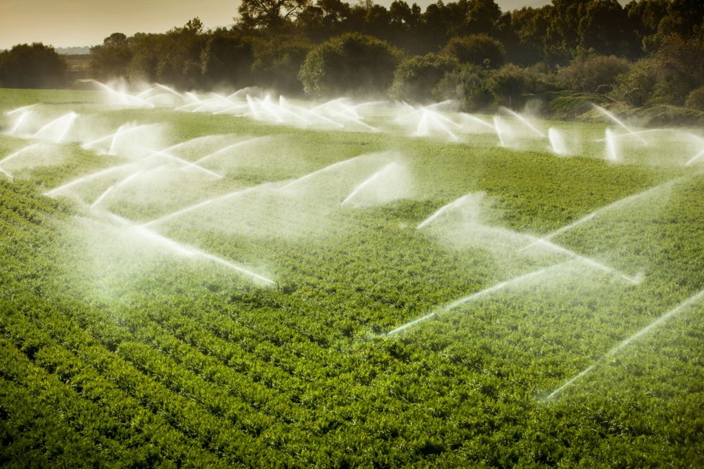
Irrigation
Grape irrigation provides water to grapevines, usually through drip systems, to support growth, improve yield, and enhance fruit quality with minimal water waste
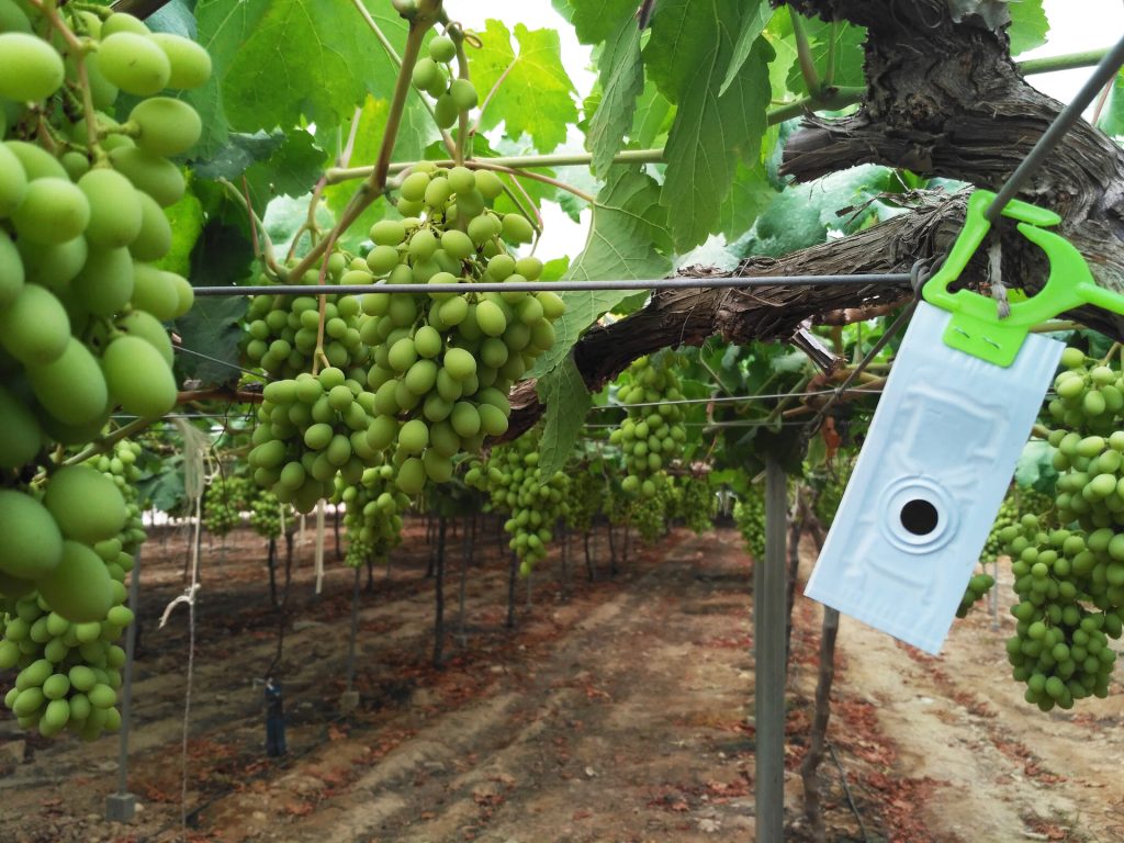
Pest control
Grape pest control involves managing insects and diseases that harm grapevines and reduce yield. Common methods include using pesticides, natural predators, and integrated pest management (IPM) strategies. Effective pest control ensures healthy vines and high-quality grapes
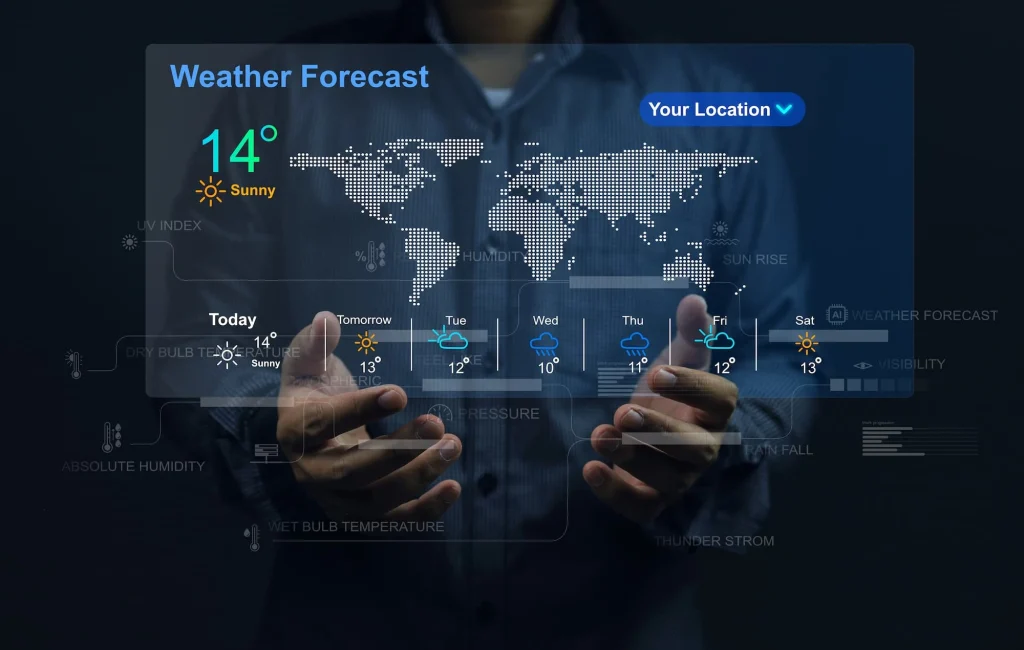
Meteorological data analysis
Grape meteorological data analysis involves studying weather data—like temperature, rainfall, humidity, and wind—to support vineyard management. This analysis helps predict risks such as frost, drought, or disease outbreaks, allowing growers to make informed decisions and protect grape quality and yield.
F.A.Q.
Because low temperatures can damage young buds and shoots, stop plant growth, and significantly reduce yield or even kill the vines.
Usually in early spring, when buds start to open, and in late autumn, before the vines enter full dormancy.
Effective methods include using wind machines or heaters, applying protective irrigation before frost events, and using accurate local temperature forecasts to plan preventive actions.
Yes. Installing temperature sensors in the vineyard and using localized forecasts allow growers to take timely actions before frost occurs.
Yes. Satellite imagery can show soil moisture, plant health, and surface temperature variations, providing valuable insights for early warning and decision-making.
Consulting Services
Garden network design
Grape garden network design focuses on organizing vineyard layout and systems like irrigation and sensors to improve grape growth, save resources, and protect vines from stress such as drought or frost.
Irrigation
Grape irrigation provides water to grapevines, usually through drip systems, to support growth, improve yield, and enhance fruit quality with minimal water waste
Pest control
Grape pest control involves managing insects and diseases that harm grapevines and reduce yield. Common methods include using pesticides, natural predators, and integrated pest management (IPM) strategies. Effective pest control ensures healthy vines and high-quality grapes
Meteorological data analysis
Grape meteorological data analysis involves studying weather data—like temperature, rainfall, humidity, and wind—to support vineyard management. This analysis helps predict risks such as frost, drought, or disease outbreaks, allowing growers to make informed decisions and protect grape quality and yield.
1) Flood hazard mapping: With the use of RS and GIS technology, combined with our expertise in hydrometeorology, to create detailed flood hazard maps that identify areas at risk of flooding based on factors such as rainfall patterns, river flow rates, and other meteorological variables.
2) Flood risk assessment: TerraMaps can provide comprehensive flood risk assessments that take into account both the probability and potential impact of floods, as well as the vulnerability of infrastructure and communities to flooding.
3) Flood modeling: TerraMaps can develop sophisticated models that simulate the behavior of rivers, streams, and other water bodies, and use these models to predict the behavior of floods under different scenarios.
4) Early warning systems: TerraMaps can develop early warning systems that use real-time data from weather stations, river gauges, and other sources to provide advance warning of floods, giving communities and organizations more time to prepare and respond.
5) Floodplain management: TerraMaps helps communities and organizations develop floodplain management plans that take into account the risks and benefits of development in areas prone to flooding, and provide guidance on strategies to mitigate flood risk.
6) Emergency response planning: We can assist in the development of emergency response plans that help organizations and communities prepare for and respond to floods, including evacuation planning, sheltering, and other critical elements of emergency management.
F.A.Q.
TerraMaps is an international company currently focusing on GCC countries: Oman, UAE, Qatar, Saudi Arabia, Kuwait, and Bahrain.
TerraMaps members have long experience on applications of different types of satellite data, GIS analysis and related services. They have participated in many national and regional projects and also held many courses and workshops
Yes! Different datasets including Remote sensing, GPS, Surveying data, Imagery, … can be used as your optimal standard data bases.